We're rested up and it's a bit cooler out today, with lots of cloud cover. All important to do this hike that we want to do today. It's an elevation climb until we get to the top, then we turn around and go back down. I have problems with going up,and have to stop and rest a lot, but I can keep up going down.
We are seeing our destination for today, as we drive into the Cochise Stronghold. We'll be up on top when we reach our halfway point.
This is a plaque at the start of the hiking trail and at the campground in the Cochise Stronghold. It has been told to us, that Cochise was buried with his horse and dog, some place up there.
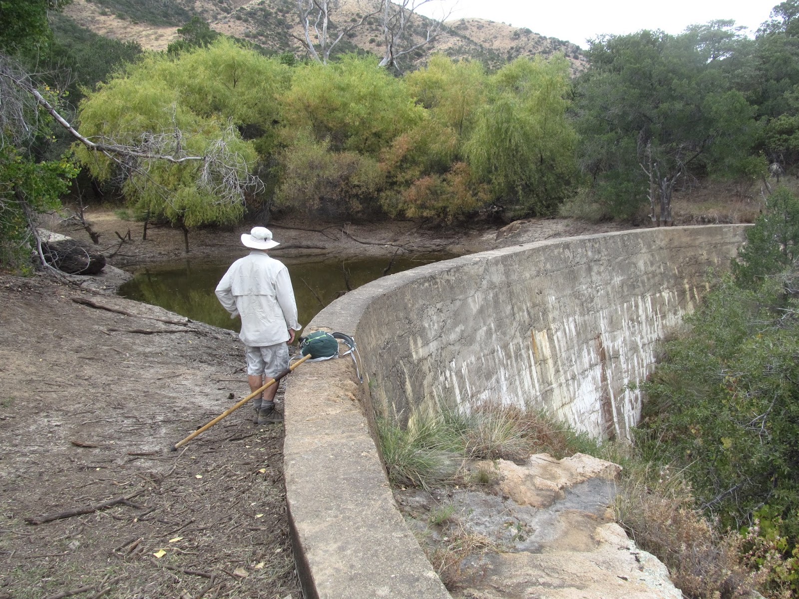
Jim is surveying the water level in the Half Moon Tank area. This man made dam was constructed with rocks/stones from the area and they had to haul the cement bags up here to complete the dam. This was 2 miles up from where we started. I'm sure it was done in the late 1800's, but we don't see a date anywhere. It had to be quite the undertaking at that time.
This was a welcoming sign, as we reached the top. We have gone down the other side for part of the way, but today, this was far enough! Our total hike was 6.6 miles and 1244 feet elevation climb.

We met 'Denise' on the trail and she was delightful! We compared trails we've done, and places we've been, and she said that she and her husband have been in forest service all their life. Her husband was the ranger at the Chiricahuas in 2010, so we had to have seen him there. She is a real outdoors gal, and is native to the area. She has done many of the trails that we have done in the Superstition Mountains, and has led female hikes to Havasu Falls. We could have talked to her all day. She told us that they had a fire just north of the Stronghold, this past summer. They had helicopters come to the Half Moon Tank and fill their 'buckets' to extinguish the fire. We wondered why the water level in the Half Moon Tank was so low, and that shed a lot of light on it. We saw no sign of fire in the areas that we hiked today, so they did a good job.

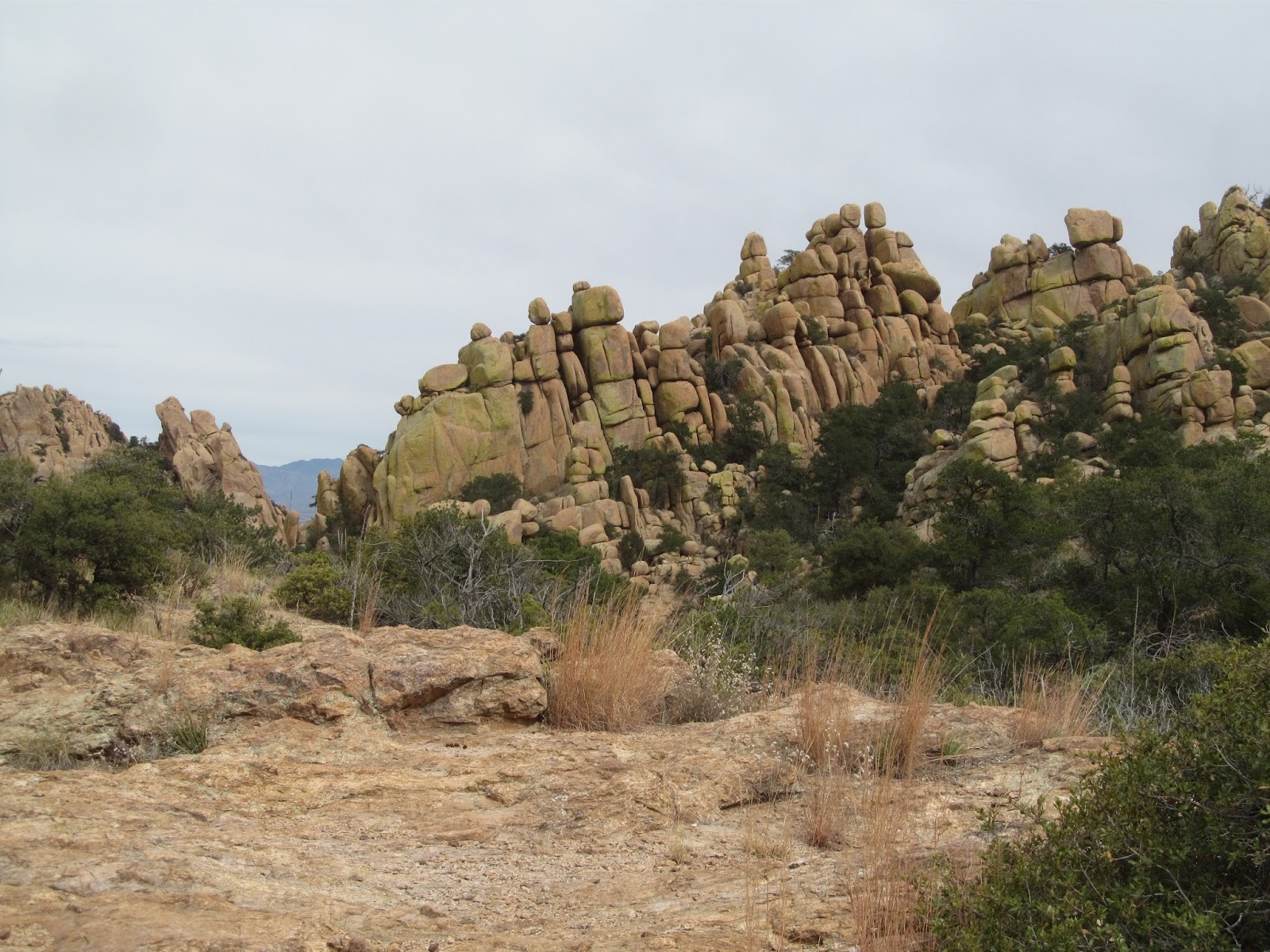
Denise took a picture of us, with the 'soft rocks' in the background. The rock structures here are quite different from the ones in the Chiricahuas.
There are lots of balancing rocks in this area, which is near the top of our climb. There is an open space that we can see down into the valley, from which we came. I may not post tomorrow, as it's laundry day, and we rest up for our longest hike on Thursday. We'll be going back to the Chiricahuas.


No comments:
Post a Comment